Who Own Boyle Heights: A Summative Analysis of Boyle Heights Landlords
Alexander Ferrer (Urban Planning) in partnership with Union de Vecinos
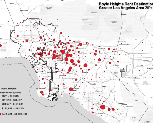
Union de Vecinos is interested in learning about the composition of land and housing owners in Boyle Heights in order to support tenants in struggling to improve the conditions of their tenancy. By combining publicly available datasets as well as a purchased copy of the Los Angeles County Assessor’s property records, the research fellow created a countywide database of landlords that provides information about the scope of their holdings, the contours of their ownership structure, and their treatment of tenants. The database includes code enforcement records from multiple agencies, unsealed eviction records, and novel information generated from the datasets. The fellow further investigated the landlords and properties of Boyle Heights in additional detail to determine the relationship of Boyle Heights landlords to the neighborhood and identify potential landlords as priorities for organizing and outreach efforts. The dataset was produced using python code to perform data cleaning, processing, and statistical analysis. The methodology is preserved via an explanatory Jupyter Notebook. The research fellow also produced a mapping tool which contains a property-based interface to relevant datasets generated from the database, which is interactive and enables users to search by property to obtain 1. Basic parcel information 2. Information about the parcel owner, and 3. Information about the parcel regarding habitability and other tenancy issues. This tool is complemented by an easy-to-use tabular dataset through which this information can also be accessed. Finally, a brief written report provides summary information about the Boyle Heights land and rental markets accompanied by illustrative maps, statistical figures, and data tables.


